ApplanixPPK
Get the highest precision post-processing straight from our easy-to-use web app
ApplanixPPK - Your One-Stop Tool For Higher Precision Positioning Data
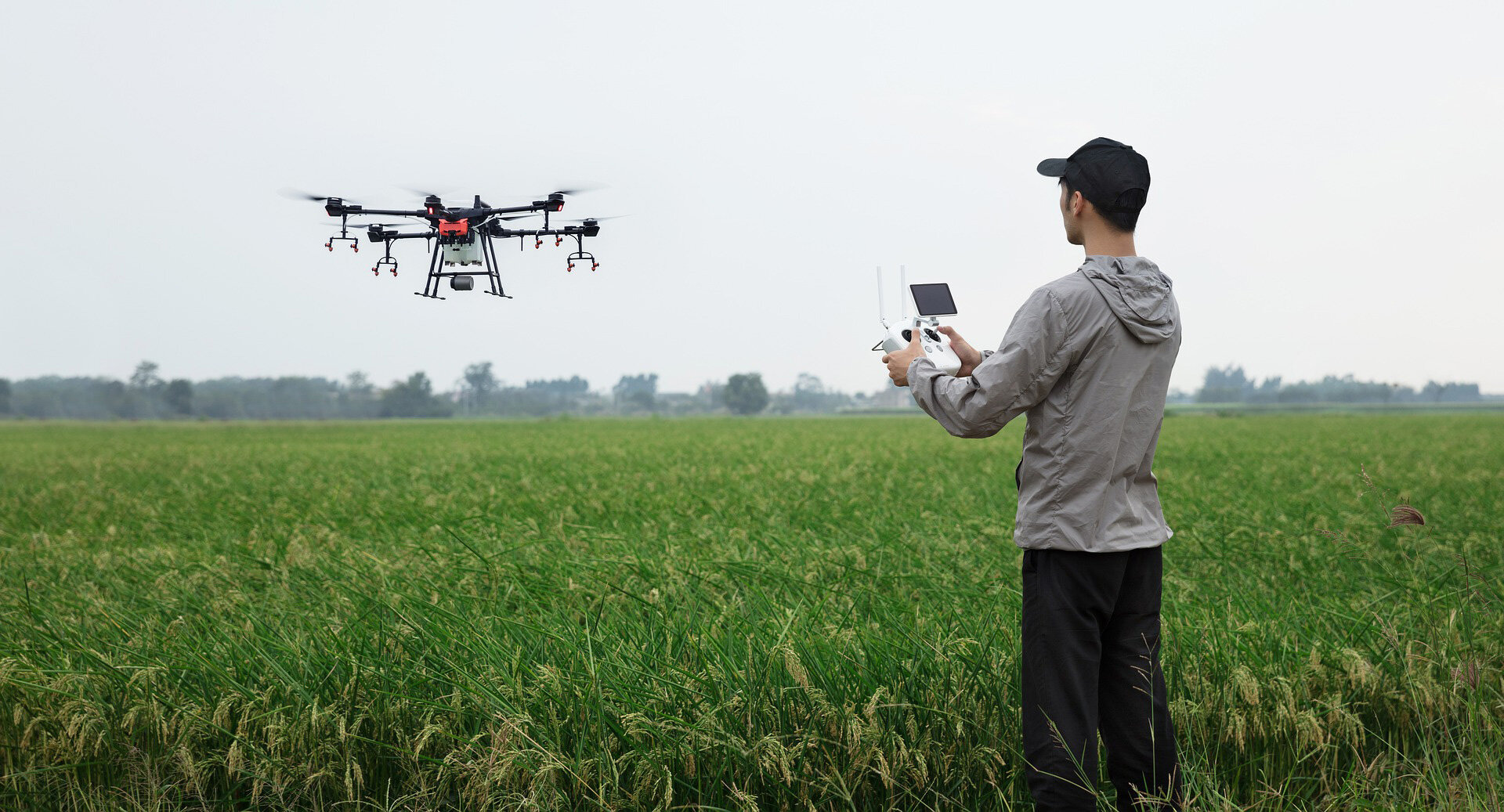
ApplanixPPK is an easy-to-use Web App Cloud Service to post-process kinematic Differential GNSS position for UAVs and drones. The ApplanixPPK Cloud processing runs the GNSS trajectory refinement which supports your drone mapping application.
All you need is Rinex data from the drone and a base station to generate a highly accurate trajectory. No base station available? Use the SmartBase or Applanix PP-RTX concept. Add the images and the exposure time stamps to produce a file ready for photogrammetric mapping jobs. Experience it today with our complimentary trial including 35 minutes of flight data!
How does it work?

Drag and Drop.

Submit Project.

Download Results.
See ApplanixPPK in action
Explore ApplanixPPK using these videos.


Check out our On-Demand Webinar!
ApplanixPPK: Unveiling the strength of PPK processing by leveraging CenterPoint RTX
Why choose ApplanixPPK?
No software to install

Monthly contract

High accuracy
Easy-to-use

Frequently Asked Questions
+ What is ApplanixPPK?
ApplanixPPK is a Web App Cloud Service to post-process kinematic position for UAVs and drones. It will process a GNSS trajectory based on Rover Rinex and Base Rinex Data or RTX CenterPoint corrections. In addition, it will provide the EO parameter for imagery, if exposure time stamps are available and converted to a PhotoID file (Photo Number, Exposure Time). The creation of the PhotoID file can be done right in the Web App.
ApplanixPPK combines POSPac processing techniques with Trimble GNSS technology.
+ How does PPK work?
PPK (post-processed kinematic) is an alternative approach to RTK (real-time kinematic). As the name says, PPK is not happening in real-time, but later, in post-processing mode. PPK merges the rover onboard GNSS data with base station data (collected at the same time) and geotag the drone images. Doing this in post-processing mode provides more flexibility and better accuracy. Compared to RTK, no real-time link between the base station and drone is required; hence less infrastructure is needed in field. Due to the nature of receiving more accurate results from PPK, fewer GCP's (ground control points) are required in field, which is a cost-saving factor. In addition, PPK may also serve as a backup for RTK if something goes wrong in real-time.
+ What are the benefits of PPK over RTK (RTK vs. PPK)?
RTK requires a real-time link via receiver/transmitter and is subject to interruptions, reducing the final position precision. It also adds hardware needed in the field and on the drone. PPK does not have such limitations. RTK integrates the corrections only in forward mode while PPK runs backward processing to get a better picture of GNSS errors to create a smoother solution. This solution is of higher precision and more robust.
+ What is PP-RTX processing mode in ApplanixPPK?
POSPac PP-RTX (Post-Processed CenterPoint RTX) is a cloud-based global GNSS correction service that utilizes Trimble's RTX technology to provide centimetre level post-processed positioning accuracy without base stations. The Trimble RTX technology uses data from a dedicated global network of tracking stations to compute corrections to satellite orbit and clock information and atmospheric delay models.
+ How does PP-RTX work, and when is the service available?
The trajectory information is used to generate a set of RTX corrections unique to the mission. ApplanixPPK processes the corrections along with the raw GNSS data to generate a PPK solution with centimetre level accuracy, all without the need for local base stations. The service is available within minutes after data collection has been completed.
+ Can I use this processing mode in ApplanixPPK wherever my mission is located?
Yes, this service is a global service. However, PP-RTX is segmented into a standard region (global) and fast regions.
Fast regions: Convergence time is within 1 – 2 minutes. Datasets from 10 minutes to several hours can reliably be processed with 3 cm horizontal and 6 cm vertical error (RMS). See fast region here.
Standard region: Convergence time is 15 to 20 minutes. Datasets from 30 minutes to several hours can reliably be processed at 3 cm horizontal and 6 cm vertical error (RMS).
For short flights (< 30 minutes), you will need to be in a fast region to obtain the specified performance.
+ What is SmartBase processing mode?
SmartBase will utilize free available base stations worldwide to process a precise GNSS trajectory. The user does not need to provide a base station. However, there are regions in the world that are well covered and others that are less covered (sparse). We recommend the user pre-check their coverage by using our SmartBase Cloud App. The user can proceed with SmartBase processing if CORS well covers the mission area; otherwise, the user may need to load their base station for single base processing.
+ Do I need to know exact coordinates from the provided base station?
No! Users can make use of the RTX CenterPoint Technology and survey in the local base station. The only condition is that RTX CenterPoint supports the antenna, and the time is long enough (30 – 60 minutes). A list of supported antennas can be found here.
+ How long will it take until I get my results?
It depends on the project length, but for standard operations (approximately 10 – 15 minutes), the results can be obtained in about 5 minutes via a download link.
+ What happens if I don’t upload a PhotoID file or if I don’t have the Web App create it for me?
The Web App will process the trajectory at 1Hz frequency and provide a generic ASCII file and the binary Applanix SBET.
+ Can ApplanixPPK also process inertial data?
No, ApplanixPPK supports only GNSS processing.